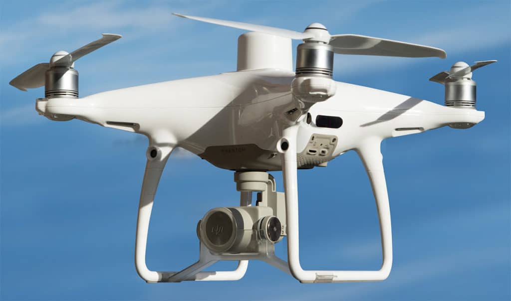
Drone Imaging
Certified Part 107 FAA drone pilots stand ready to provide major infrastructure and engineering projects with aerial surveys and data with impressive imagery.
- Topography & Existing Conditions Mapping
- Ortho Rectified Imagery
- Ground Control for Aerial Mapping
- Photography
Services
Our team of experts is fully prepared to take your project to its limits. As a professional firm, we adhere to a firm code of ethics in order to uphold the trust of our clients. We strive to follow all the regulations & requirements to obtain swift approvals for our clients. With Alliance Engineering, Inc. you can expect only the best service.
LAND
SURVEY
LAND
SURVEY
Learn More
CIVIL
ENGINEERING
CIVIL
ENGINEERING
Learn More
DRONE
IMAGING
DRONE
IMAGING
Learn More
LAND
PLANNING
LAND
PLANNING
Learn More
Request a Free Estimate
Estimates can take 2-5 business days.